


Mauvoisin - Fionnay et retour - nature sauvage 08.08.2010

duamerg
User
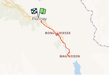

Length
11.6 km

Max alt
1846 m

Uphill gradient
451 m
Km-Effort
17.6 km

Min alt
1489 m

Downhill gradient
450 m
Boucle
Yes
Creation date :
2014-12-10 00:00:00.0
Updated on :
2020-01-30 13:57:22.99
4h00
Difficulty : Medium

FREE GPS app for hiking
 SityTrail
IGN / Geographical institutes
SityTrail Plus
The world is yours!
About
Trail Walking of 11.6 km to be discovered at Valais/Wallis, Entremont, Val de Bagnes. This trail is proposed by duamerg.
Description
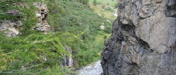
Jolie course jusqu'au pied du barrage de Mauvoisin
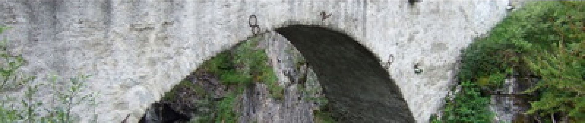
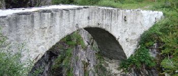
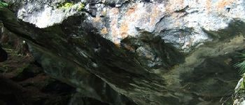
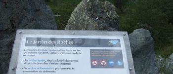
Photos


Positioning
Country:
Switzerland
Region :
Valais/Wallis
Department/Province :
Entremont
Municipality :
Val de Bagnes
Location:
Unknown
Start:(Dec)
Start:(UTM)
368994 ; 5099152 (32T) N.
Comments